Showing posts with label Middle Fork of the American River. Show all posts

Sunday, July 18, 2010

July 18 - Connecting the Lines


Up absurdly early, with a local petrol and water-bottle stop,


then out to


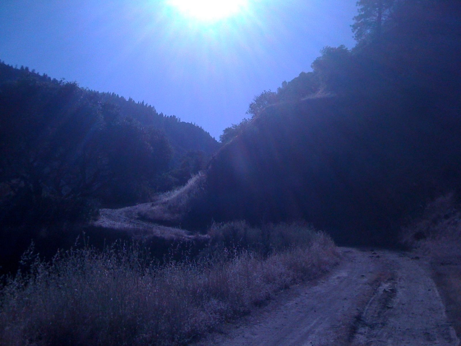
American River Middle Fork Canyon,


over the Auburn Ravine Bridge,


past baking


chaparral slopes to


the Western States Trail Junction in


Foresthill


for


the last 8.3 miles (16.6, actually, since this will have to be a round trip) of a series of connected hikes between Rohnert Park and the Talbot Trailhead of the Granite Chief Wilderness.


Time for another Mark-of-Arabia (or is it more Flying Nun / large white rabbit / water buffalo this time?) get up before heading down


California,


Lowe, and perhaps


California again to


the


Trailhead,


where


the


views


open to the


east,


south,


and


west.


The way leads across a digger-pine-and-chaparral plateau,


then down Dardenelles Canyon within sight of the distant North-Fork-of-the-Middle-Fork Divide to a sunny


checkpoint.


From here,


the woods are alternately thin and dense,


with enough views of


Buckeye and


Cock Robin Points to keep it interesting, yet enough


shade to keep one alive on a very warm day (with three horsewomen and no other hikers encountered the whole time).


At last the clearing (in what proves to be just about the only truly deep forest section), known as


Peachstone Junction, appears, after a brutal, open downslope.


Resting briefly, there is nothing to do but tackle the reverse upslope -- the most difficult stretch of the day, wrapping the upper shirt-scarf tight against the heat radiating up from the rocks, meditating on the horse that started earlier and almost knocked its rider and me for a loop (what if?). All the potential dangers -- sprains, broken bones, heat stroke, insurmountable fatigue, bears, mountain lions, bees, poison oak, sunburn, blisters, becoming lost, dehydration, starvation, being kicked by a horse -- pretty much averted.


Uncharacteristically thankful for shade and


cool springs, relatedly appreciative for having taken three (rather than two of last week) water bottles, plus the re-discovered daypack of yesterday, which proves semi-insulated, and thereby a keeper of relatively refridgerated goods.


Homeward, again, pretty wiped out, but perhaps in slightly better shape than last week at this time -- still there are two pages (51-52) of Symphony No. 2: II (Part 2) to do, as well as another for Psalm 20 (2 pages total, concluding it), and video edit for San Rafael News: I. AIDSong.

Sunday, July 11, 2010

July 11 - Time and the River


Up and out early to the Sierra foothills east of Auburn, down Driver's Flat Road to


Oregon Bar for a 14+walk to


Peachstone Junction (California 2), thereby filling in about half the gap to Foresthill (once done, will have walked contiguously from Santa Rosa Plain, across the Central Valley, and up into the Mountains to Talbot Campground beyond Mosquito Ridge -- with two other gaps left to fill to finish a stroll across California from the Pacific Ocean to the Nevada border).


The journey starts accompanied by a forelorn dog, who gives up the companionship at the


Ruck-a-Chucky Road ascent, where the


rapids


come soon into view (the name evidently from the "rotten chuck" -- poor edibles in Gold Rush parlance -- or perhaps what would come of it over the watery turbulence).


Beyond, the Middle Fork of the American River turns placid, turning the bend near


Ford's Bar, then up to views of


Cock Robin,


Otter Creek Canyon, and the


Hornblende Mountains.


A punishing down and up, beyond Peachstone Canyon to the Junction, then


back via the cool waters, as the sun descends providing some relief against the 90+ sun,


down (mostly), returning to the


Ford's Bar area,


re-encountering


Ruck-a-


Chucky,


the relentless sun returns by a


Digger Pine rest stop, and


leads all the way


back to


point of origin.

Pretty wiped out, seemingly at the level of endurance, just enough water to make the circuit, heading back up Drivers Flat (Tire?) Road, a light flashes several times on the dashboard. Make a dash to the promentory plateau midway, check for overheating (seems maybe, kinda OK), charge up the rest of the road, which is not as steep, windy, and rutted (still gravel, though), then down Foresthill Road to Auburn Ravine Bridge, and back up to civilization, such as it welcomingly is, stock up on water, soda, and oil (by now am down to a mini-Coke left in the car that has the approximate temperature of hot coffee). Difficult to determine whether the oil is down or not, so put more in, turn over the ignition, which fires up right away chipperly, and the light on the dash (which cannot be read when unlit) proves to be the computerized "swerve control" functioning -- so perhaps there was really no issue at all.

Feeling definitely like an individual of a certain age -- a muscular twitch in right leg (Google reveals can be brought on by muscular stress... well, yeah...) and a growing tinnitus (nostalgia for gentle August cicadias of the east) do not make sleep come gently, so do two more pages of publication-preparation for the Symphony No. 2: I, begin video edits for Diocletian, and at last drop off.