Showing posts with label Picayune Valley. Show all posts

Sunday, August 15, 2010

August 15 - Sky Height


Moving towards the sun before it rises, over the Central Valley, up


the Canyons of the North,


Middle,


and


North-Fork-of-the-Middle Fork American River, past Deadwood and


Balloon Ridges,


to


French Meadows Reservoir, near the upper


Middle Fork American Canyon,


and


beyond to


Talbot Camp (jumping with more activity than seen heretofore in these parts) for the final full dayhike of the summer, to


Picayune Pass (the same destination as last week's jaunt via other direction from the Five Lakes Trailhead).


This time the


way begins as a classic


"old woods road" through what remains of


French Meadows -- this upper open drainage not drowned by a damming water barrier.


East, then


south, into the
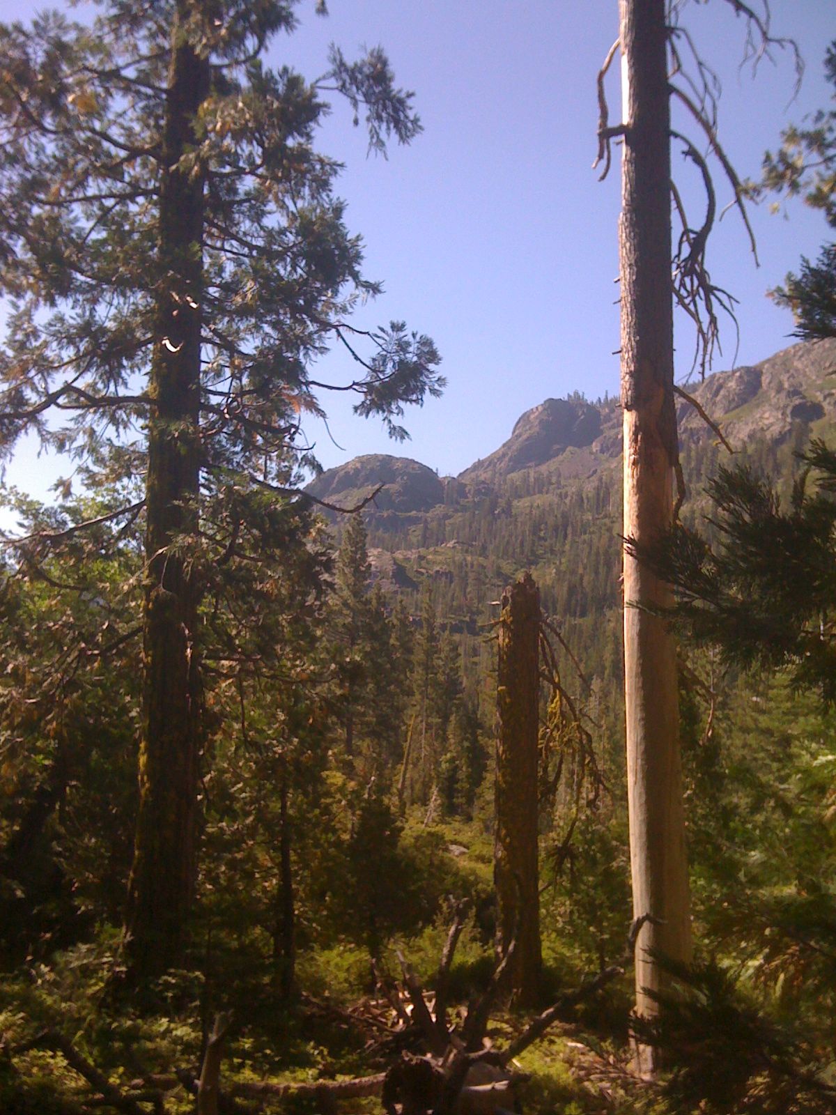


greater Picayune Valley (oxymoron, indeed), crossing the energetic creek that is the upper Middle Fork American, followed by


three


granitic


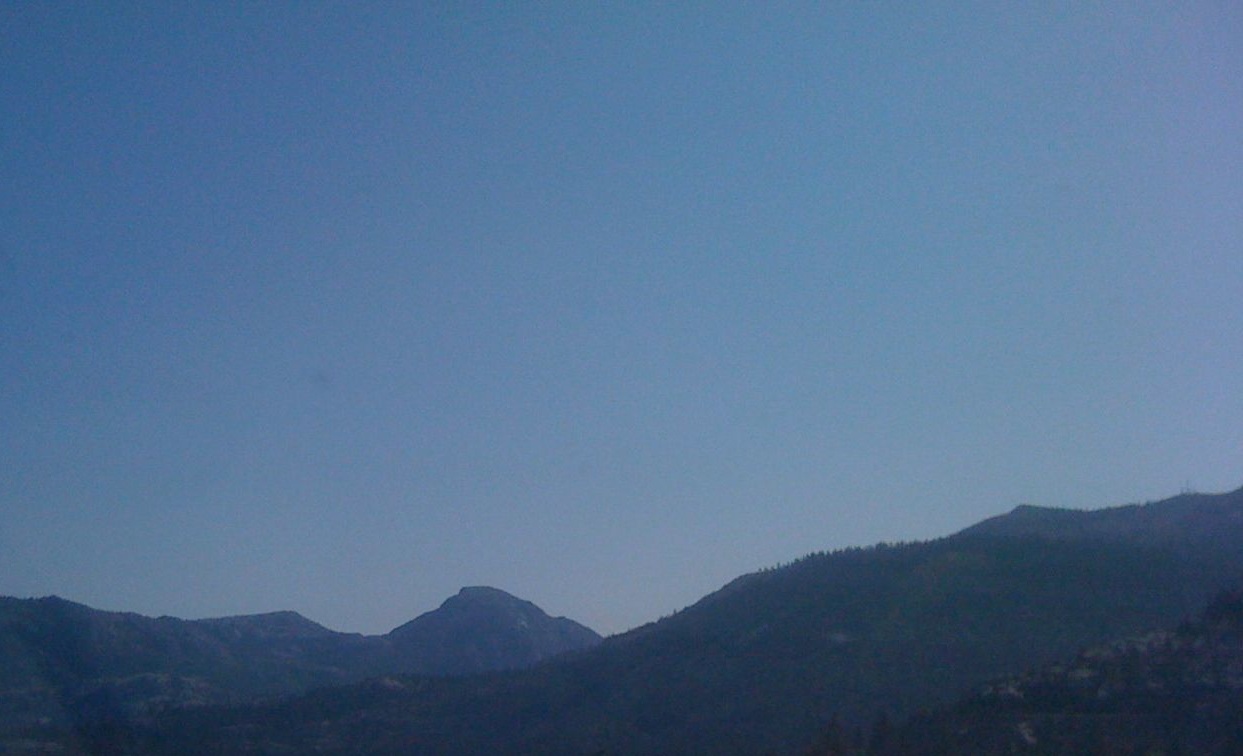
uplands (views opening to the goal south [the pass is at left, three pictures up] and the canyon north, with


Marion Ridge west and


Granite Chief and associated prominences east),


alternating with


two


flower wildernesses (note the clarity of the trail and the stately


aspen).


Waterfalls,


montane chaparral,


a rock shelter, and at last the


upper valley (perhaps its compactness meriting the nomenclature) -- up, up to vistas of


Heavens Gate (the notch above center), Marion Peak (to the left),


Ridge snow, and


Cliffs.


The


Pass is as spectacular as last week, and safer,


with virtually clear skies (just a little cumuli Nevadawise), and a


360 panorama from the terminal


aerie.


The


mossy return back into the


Valley seems a bit easier than previous ones (the gradient has been simply lower to higher, rather than an altitudinal roller coaster), and driving back is a farewell to Mosquito Ridge Road, the scene of so many journeys in the past few years. Home for two more Animal Farm videos


(XVII. Platypusses and


XVIII. Kangaroos) and a check-in with Harriet. Tomorrow is the first day of the fall semester.

Sunday, August 8, 2010

August 8 - On the Wind


Arise way early, past hot air balloons aloft above Dixon,


up,


over, and


down the Sierra crest to


the upper Truckee Canyon and


Alpine Meadows to hike from the


Five Lakes Trailhead (a little below 6600 feet) to just above the


Picayune Divide (7600) -- a bit of a roller coaster, with about a 2000 foot differential, when all is experienced and walked.


The way leads up past


striking exposures of


rhyolite and


granite,


mounting a fairly naked


promontory of Squaw Ridge,


up Five Lakes


Canyon to the


forest-border of the


Granite Chief


Wilderness, which is also the the continental divide (drainage east interior to Pyramid Lake, and west down the Rubicon tributaries to the American, Sacramento, and Pacific).


Beyond the woodsy


connection to the Crest Trail,


snow lingering in the highlands surmounting


flowery


meadows,


is


the


junction to


Whiskey Creek


Camp. After a chat with Jeff, who's done the Loop and camped here in the rain last night (semi-ominous news, as the clouds are clearly building today as well),


it's up the quixotic


Pikayune


(with a "c" in all the maps and guidebooks and dictionaries),


to


Shank's Cove


Shoulder,


views opening from


Granite Chief, Squaw Peak, Five Lakes Pass, and Ward Ridge, to


farther south.


Slopes of


ambiguous, path-obscuring


Mule Ears


lead


to


the


Picayune


Divide,


the south prospect draining to Hell Hole Reservoir, and the north beyond Mildred's snows to French Meadows.


By now, the nimbo-cumuli seem so close that it's time to put away the camera, etc., for the downslope, yet there's still an interval to chat with the intrepid Mike Sweeney, heading upslope upon descent, who's doing the optimal: hiking from point of origin over and down to Talbot Camp, thanks to a significant-other shuttle. We exchange info and then it's a beeline east in the crescendo of thunder to the car, arriving just before anything more than a spritz starts (God takes care of fools, once again). Signs of promise in the sky,


the cliffs of Bullshead,


Big and


Little Chief and


at last the


sun returns west of Donner Summit, homeward, with two more Animal Farm videos upon return:


XXV. Dogs and


XXVI. Wolves (a few of the former on the popular beginning of the trail today, but none of the latter).