Harriet and Tony head off to Napa, while I remain to finish the publication-preparation of
Psalm 14, page 2 (seems for the best as he's in a pickup, and figure they have brother-sister catching up to do, even beyond the c. hour in which he as regaled us re his new life with Maria in her native Quito, Ecuador). But then, well, the general idea of The Valley is too tempting, and I'm out the door, as well -- been a long time since I've taken a personal-Bay-Area-Ridge-Trail-string-'em-together hike (last one was on December 23 -- duly chronicled at
markalburger2009.blogspot.com/2009/12/december-23-temple-of-world.html)

So, call H to let her know the plan, and it turns out they've gone to Calistoga via Lake Berryessa and Route 128.

Intrigued, I drive beyond the Oak Grade turn north of Stag's Leap, continuing past

Robert Mondavi and through

St. Helena beyond

Berringer to see if I can track them down.

Alas, when re-calling, since I can't recall the restaurant's name, just get the recorded message.

Still, seems like I'm approximately experiencing their day in the environs of

Sam Brannan's Store (the enterprising Mormon of "Gold! Gold from the American River!" fame) and

Indian

Springs.

Heading south through the tree-arbored late afternoon, retracing to

Mondavi, it is now time to take the Grade to make the grade of the walk from when last we

trod, with its

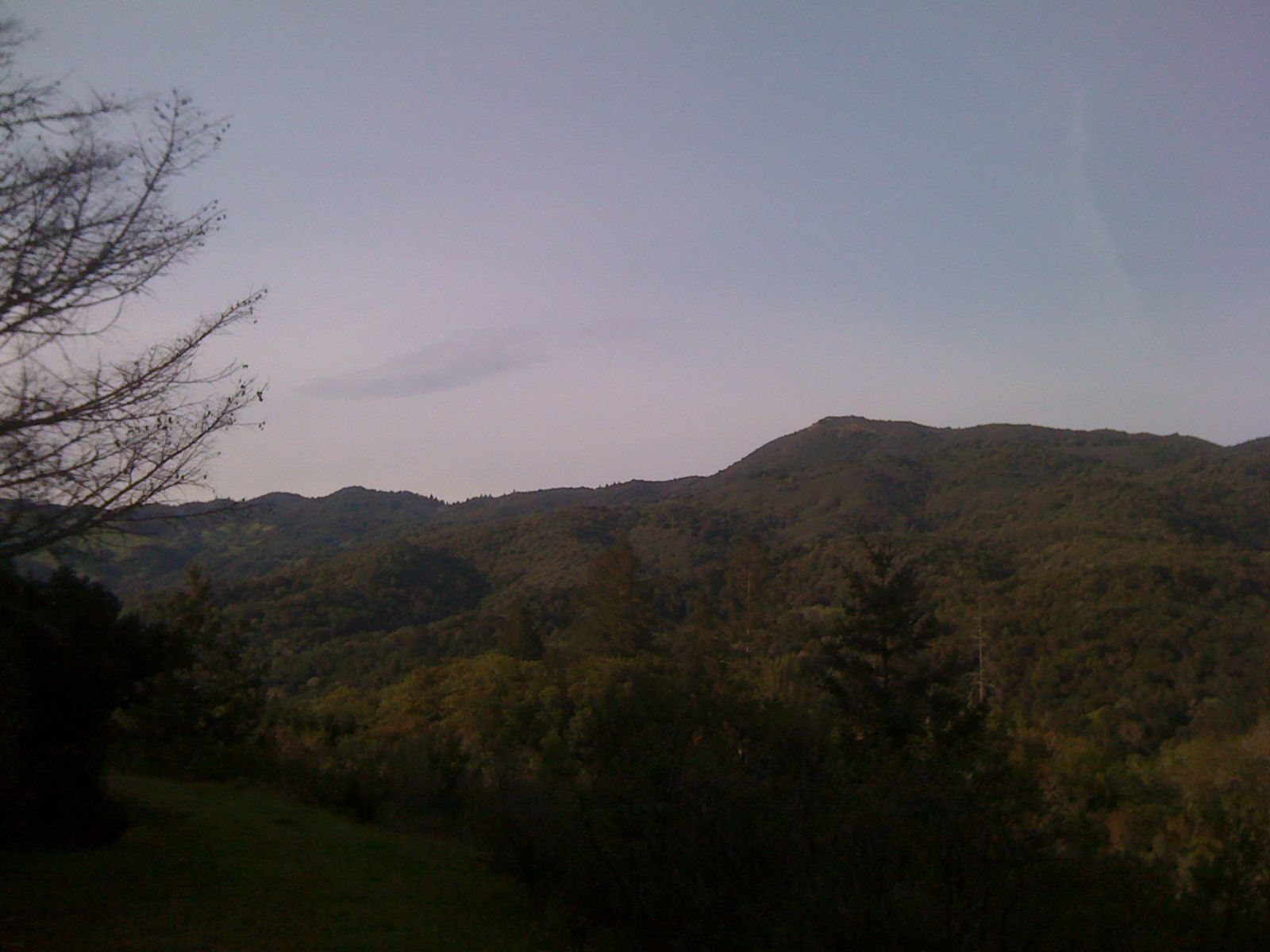
mostly-scrimmed views of the

East Mayacamas

Ridge, doing some

self-reflection among the

S-curves and

redwoods to

near the Napa-Sonoma border.

Again backtracking, down (there's a coyote at bottom left of the pole and

at extreme left amongst the vineyards), and

up canyon, the hour is auspicious for this one to head home on a questionable c. quarter-tank of gas through the wildlands of

128 south of Lake

Hennessy, into

Sage

Canyon (through which, a notable increase of digger pine, at the expense of live oaks),

revealing

Chiles and

Capell Valleys

(including

Raney Rock),

back into the

Spanish-mossed

oaked,

rocky

Wragg,

Cherry, and

Markley Canyons,

debouching towards

Lake

Beryessa's

Blue

Mountains at

Devil's

Gate, downslope into temporarilly

Solano

County,

looking up at

Monticello Dam (named after a drowned town) and

Thompson Canyon

Ridge.

Across Putah Creek, we're in

Yolo through a

declivity

widening out

into a northern

highlands of

pasture and

moonlight.

South, back over the Creek, the view is west toward the Vaca Mountains's Blue Ridge and

east to the English Hills and

more and

more

moon.

Orchards and

Schoolhouse

Junctions,

barns and

bovines, and

home late with still an eighth of a tank,

returning to finally re-encounter Harriet and Tony, bidding the latter farewell (we decide we must hike the northern Napa Valley Palisades someday), and composing page 7 of
Song of Solomon: II. I Am the Rose of Sharon.